vol. i · est. 2026 · printed in europe
From any door,
to any elsewhere.
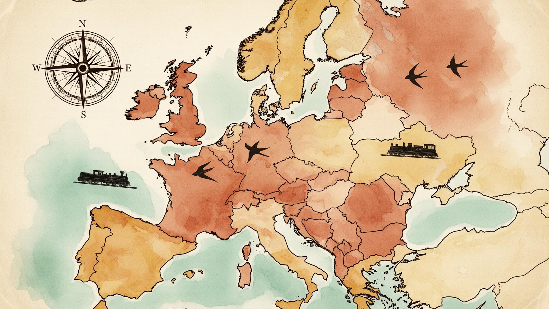
An AI-driven atlas for European public transport. Trains, buses, metros and flights — with current schedules and indicative prices for the day you travel.
Live timetables
Itineraries are generated with live web search across operators — Deutsche Bahn, SNCF, Trenitalia, Eurostar, Flixbus, BlaBlaCar Bus, Ryanair, easyJet and more.
Compare routes
Cheapest, fastest, fewest transfers. See every leg with operator, service number, walking transfers and indicative price in euros.
Save & revisit
Bookmark journeys to your atlas. Each saved trip keeps the routes and a map of your itinerary.